A website about
Christo Aluckal
Projects
I was fortunate to be part of a very dedicated research group during my undergraduate and my graduate course. Below you can find the major projects that I have been a part of.
Publications
Over the course of my undergraduate course, I have tried giving back to the scientific community in various ways. Below you can find the major publications that I have helped co-author.
PROJECTS
Reinforcement Learning Distillation
On-Line Knowledge Distillation for Multi-Environment Reinforcement Learning
Vertical Take-Off and Landing (VTOL) Unmanned Aerial Vehicle
A hybrid Unmanned Aerial Vehicle (UAV) with Vertical Take-Off and Landing (VTOL) capabilites built around a high-wing trainer model aircraft
Roles
Fabrication Team
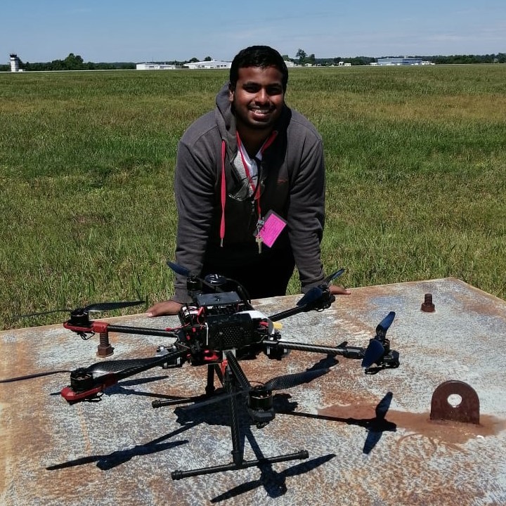
“Hex-Wife”, a hex-rotor UAV system
An inexpensive and reliable autonomous Unmanned Aerial System (UAV) capable of performing point-to-point autonomous missions
Roles
Design Head
Communications Operator
“PixTrigger”
An open source tool to trigger cameras and geotag the images using a Pixhawk and Raspberry Pi
“No Permission, No Take-off”
A tool that utilizes the OpenSSL framework to authenticate a digitally signed XML
“Building Segmentation”
Using an Orthomosaic and DEM/DTM image pair, the system can extract the height and coordinates of all buildings in the region of interest
PUBLICATIONS
TERA: Simulation Environment for Terrain Excavation Robot Autonomy
C. Aluckal et al(2025)."TERA: A Simulation Environment for Terrain Excavation Robot Autonomy,".
2025 IEEE International Conference on Simulation, Modeling, and Programming for Autonomous Robots (SIMPAR),
Palermo, Italy, 2025
Generative-Network Based Multimedia Super-Resolution for UAV Remote Sensing
Yash Turkar Christo Aluckal Shaunak De Varsha Turkar Yogesh Agarwadkar
IGARSS 2022 - 2022 IEEE International Geoscience and Remote Sensing Symposium, Kuala Lumpur, Malaysia, 2022
Dynamic realtime indoor environment mapping for
Unmanned Autonomous Vehicle
navigation
Christo Aluckal, Yash Turkar, Yashom Dighe, Sumedh Deshpande, B. K. Mohan,
Yogesh Agarwadkar, Sunil Surve, Brijmohan Daga
IEEE International Conference on Advances in Computing, Communication & Control, 2019
About Me

I recently completed my undergraduate degree and have over 3 years of research experience in
UAVs and Robotics. I am open to working on most scientific domains but have a keen interest
in Robotics and Computer Vision.
Interned
at InfiCorridor Solutions Pvt. Ltd.
Currently studying at University at Buffalo pursuing a Master's of Science in Computer and Information Systems and working for the DRONESLab research group.